 ROAD SURFACE MEASUREMENT SYSTEM
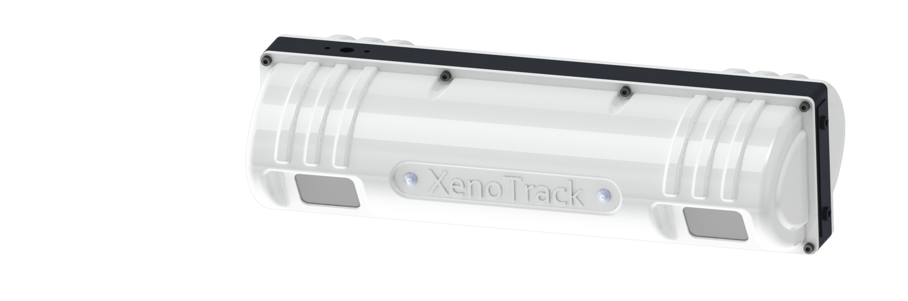
XENOTRACK

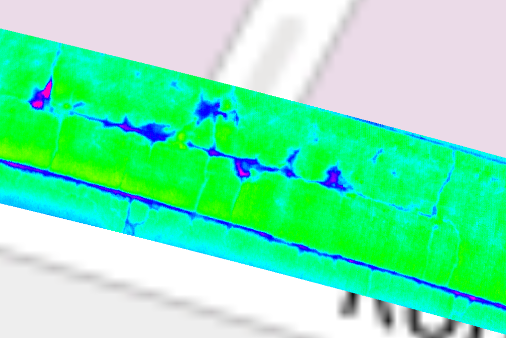
XenoTrack Single Lane – The detailed and surface measurements accurate to within a millimeter make it ideal for applications such as pothole detection, surface monitoring during road construction works, seasonal surface degradation analysis, road waviness, etc.
Single Lane RearView metrics
- Lateral FOV: 4m
- Longitudinal FOV: 1,9 – 4,1m behind vehicle
- Smallest resolution x-y: 5-5 mm
- Accuracy: < 0,45 mm
- Frame rate: 40Hz
- Measurement points: over 1 million/sec

XenoTrack Dual Lane – a solution designed to survey two neighboring lanes in a single pass. The Dual Lane lidar system allows a surveyor or road inspector to save time, resources, and budget by measuring two lanes in one go.
Dual Lane RearView metrics
- Lateral FOV: 7,5 m
- Longitudinal FOV: 2,9 – 7,5m behind vehicle
- Smallest resolution x-y: 10-10 mm
- Accuracy: < 0,65 mm
- Frame rate: 40Hz
- Measurement points: over 1 million/sec

XenoTrack FrontView – The mm-accurate, high resolution profile data makes the sensor ideally suited for RT application relying on preview measurements such as active suspension for ultimate driving comfort, lane keeping, small but dangerous road obstacle avoidance.
FrontView metrics
- Lateral FOV: 6,5 m
- Longitudinal FOV: 2,8 – 8,2 m behind vehicle
- Smallest resolution x-y: 10-16 mm
- Accuracy: < 3,5mm
- Frame rate: 20Hz
- Measurement points: 560 000
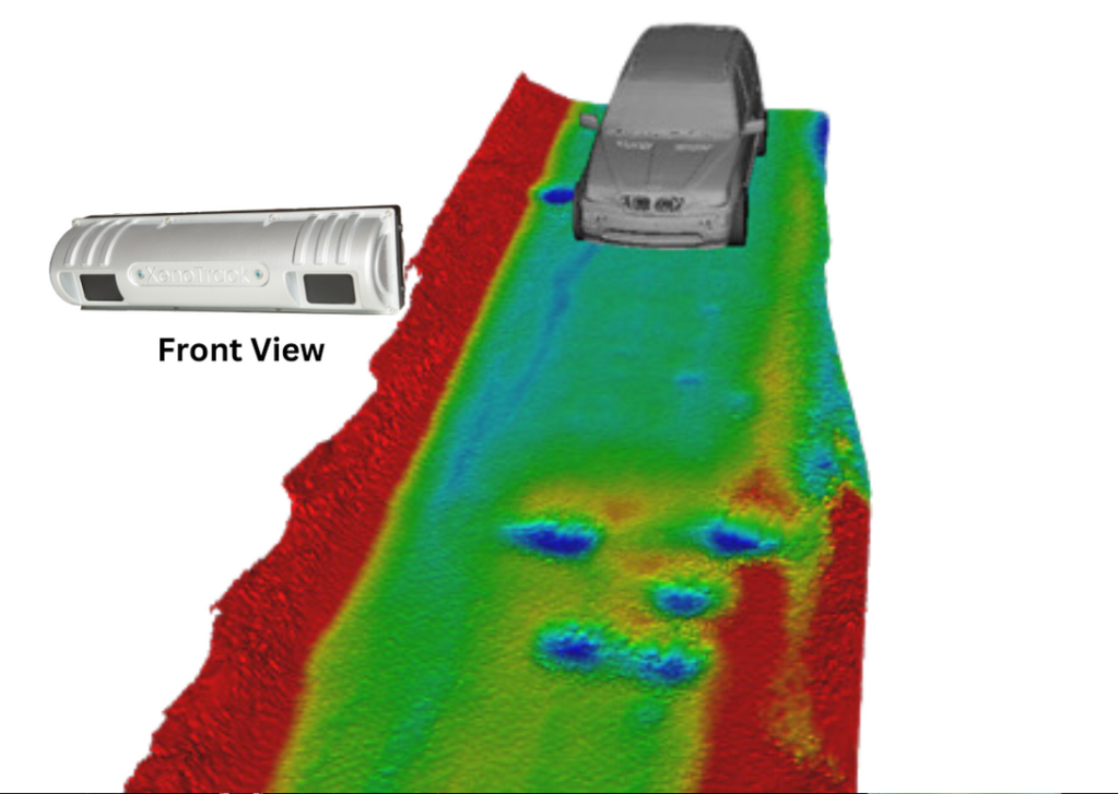
XenoWare is the software interface to access and control the XenoTrack lidar for collecting and processing your pavement data. Within XenoWare the Digital Road Plus algorithm first stitches each individual point cloud to one fully georeferenced and digitized road with unprecedented accuracy and precision.
The Digital Road Plus applications can automatically identify, calculate and geotag quality measures like IRI (or other evenness measures), rutting and road markings, delivering the output in standard formats as las or crg. Significant capabilities and performances are added to Digital Road Plus.
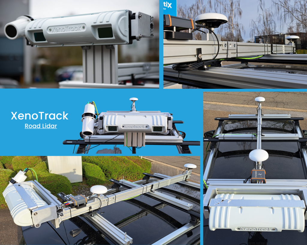
XenoTrack comes with a Roof Mounting Kit consisting of a rigid, single-bar mounting system used to mount both the lidar sensor and the XenoAsterx antennas and GNSS (optional). Customer benefits include:
- Increased stiffness eliminates vibrations of the XenoTrack system relative to the car body
- All system components can be removed from the vehicle’s roof at once
- Calibrated relative position between XenoTrack, GNSS and antennas can be maintained when removing the system from the vehicle
- Easy switch to move the entire system from one vehicle to another